REQUEST
A CALL BACK
A CALL BACK
Please feel free to contact us any time, we look forward to hearing from you.
Call 0419408855
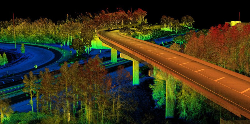
Aerial photography, digital terrain model, cost effective data capturing and weekly or monthly quantities on civil or mining projects
UAV Aerial Photography Surveys
– We are CASA certified UAV operators and can perform almost any task.
– Surveying & Mapping
– Civil engineering & Construction
– Asset & Plant Inspections
– Environmental monitoring
– Agriculture monitoring
– Emergency services
– Realestate Photography
– Event Photography
Your Success
At JDP, our mission is your success. We strive to find solutions to complete your projects in a smooth, timely & efficient manner, no matter how large or small the scale.
Our Team
Our JDP team is adept in operating the most state of the art machinery to ensure meticulous data compilation & sterling dossier presentation, whatever your needs.
Looking for Exclusive Surveying Service?
Get in touch with us for a great service at a great price. We provide all you need thought the best solutions in the market.